Offroading North of Lake Pleasant: French Creek to Table Mesa
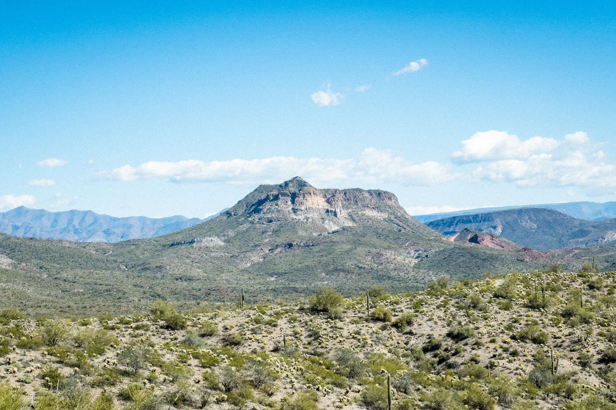
The distant mountains are one of my favorite views.
A Different Kind of Arizona Saturday
There are a lot of ways to spend a Saturday in Arizona. You can hike. You can paddleboard. You can grab coffee and pretend summer isn’t coming.
Or you can point your vehicle north of Lake Pleasant and see where the dirt roads lead.
This wasn’t a single-named trail with a clear start and finish. It was a spidery network. We had a loose plan to link French Creek Road, Two Shoes Ranch Road, and Table Mesa Road, with the goal of seeing the Fort Tule Site along the way.
We were in my stock Jeep Rubicon Wrangler. No lift or oversized tires beyond the Rubicon stock. But we do have a winch and full recovery gear. Capability matters out here, and so does preparation. Apologies in advance for the lack of photos or videos of the mentioned obstacles. We were…busy.
The plan was simple: explore the route, reach Fort Tule if it made sense, and enjoy whatever the desert gave us along the way.
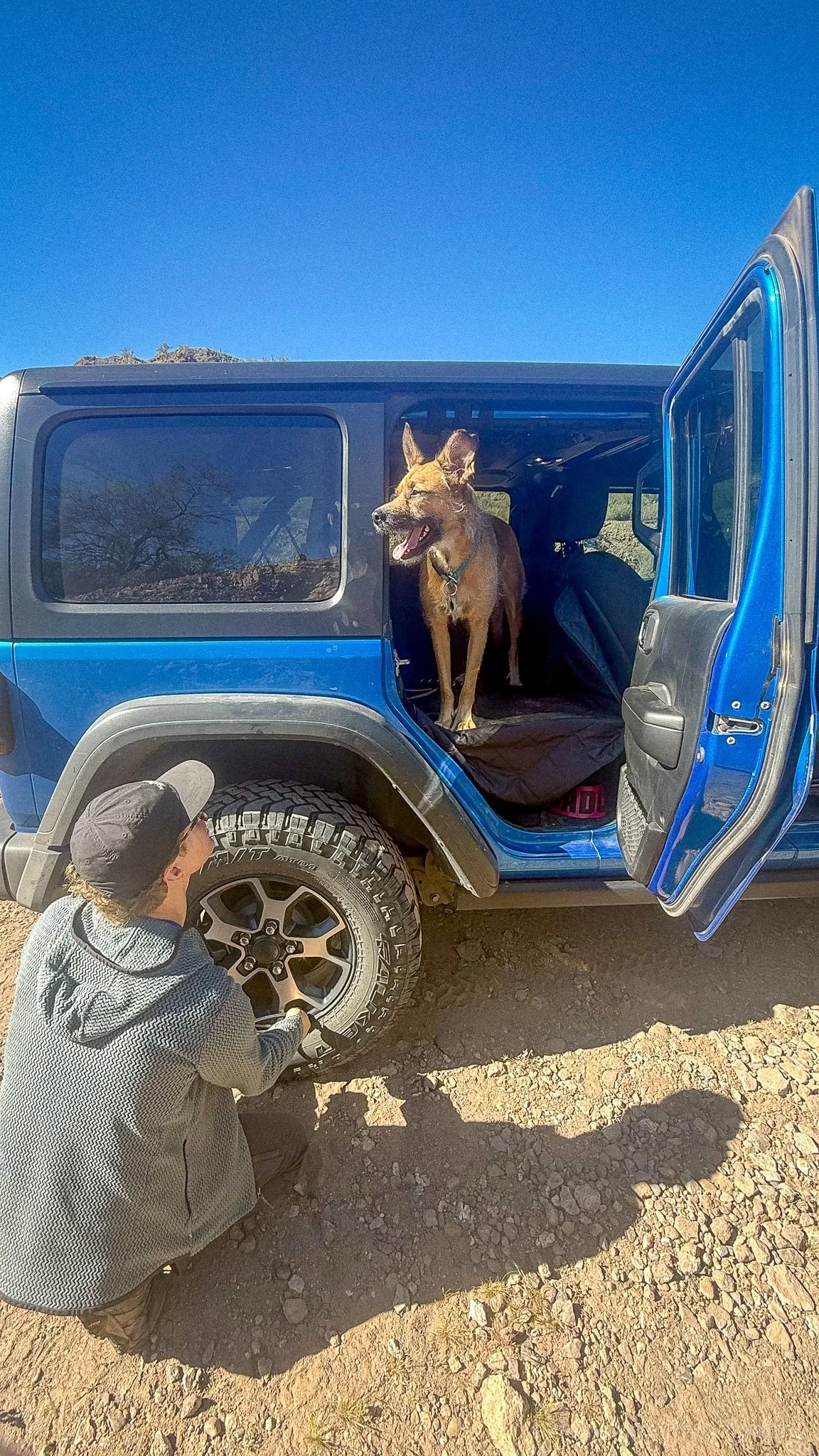
We always air down for comfort and traction on technical areas. Bear supervises.
A Quick Reality Check Before You Go
Before I get into the route, this area deserves a quick disclaimer.
If you’re going to explore north of Lake Pleasant via Castle Hot Springs Road and the surrounding connector roads, you need to be confident in your vehicle and your own judgment. It also helps to know whose land you’re on, since it’s a mix of BLM, State Trust, Lake Pleasant Regional Park, and private.
These roads can shift from “easy dirt road” to downhill, off-camber rock sections without much warning. And sometimes there isn’t a clean turnaround once you’ve committed.
That’s not meant to scare anyone. It’s just the reality of offroading in the Arizona desert. People expect flat and sandy, but that’s not always the reality.
High clearance, real 4WD, recovery gear, and the willingness to turn around before things get out of hand are not optional out here.
Know your rig. Know your limits. And don’t let ego drive the line choice.
Route Overview: How We Linked It Together
Castle Hot Springs Road to French Creek Road
By the time you turn off toward French Creek Road, Castle Hot Springs Road has already transitioned to dirt. If you’ve made it to the aptly named Castle Hot Springs Resort, then you’ve gone too far. The road starts wide and relatively smooth, but that comfort fades the farther out you go.
Traffic thins out. You’ll still see side-by-sides and other off-road vehicles, but the traffic for the resort drops off quickly. You’ll mostly notice the surface getting rockier.
The majority of the area is a nice (sometimes bumpy) dirt road.
French Creek Road to Two Shoes Ranch Road
French Creek Road is where things begin to feel more intentional. It gets rocky and very dusty.
Signage is limited. We relied on Gaia GPS to confirm junctions. In this area, roads braid together. It’s easy to assume you’re on the right track until you’re not. We drove right past the turn on our second visit to the area.
You’ll turn right onto Two Shoes Ranch Road. There are two options: a moderate hill climb (right side) or the adventure path (left side). The adventure path will have you staring into the sky as the nose of your car points straight up the hill. Pick your line before starting, a spotter helps, and know that it’s a quick hill crest before you descend another interesting hill section. Interesting in this case means washed out, rocky, and a bit “roller coastery”.
Around the bend is a narrow, twisting path of trees delicately scratching your car.
Two Shoes Ranch Road to Table Mesa Road
Two Shoes Ranch Road adds variety with some interesting hills + rock shelves. Not hard (particularly if you stick to the perimeter), but different than a flat dirt road.
Before crossing the lake bed (usually dry, but always check the weather), you’ll descend a short section littered with creek boulders, some the size of basketballs. After descending, you’ll be in the lake bed and a wash that flows away from the lake. It was wide open and deceptively calm compared to the descent. Lots of paths split from here, but we went straight across, following the defined path.
After crossing the lake bed, we found remnants of an old building (see below) sitting up on a hill. Faded wood. Partial walls. Quiet reminders that people once tried to make something out here.
At one point, the trail squeezed tightly between trees in a wash. Desert pinstripes were unavoidable. If you’re worried about paint, this isn’t your road.
Not Fort Tule, but old structures can be found all over the place!
The Goal: Fort Tule Site
Fort Tule was the loose objective for the day. It’s remote. It requires effort to reach. That alone makes it appealing.
As we progressed, the road presented a ledge climb that would determine whether we continued. To move forward, we needed to climb up and over a ledge before the road continued downward again.
We had already handled obstacles that day that were as difficult, maybe more difficult. The Jeep was capable. The line was doable.
But it was later in the day. We were wheeling alone. And once we committed, there was limited room to turn around if something went wrong.
There’s always room for error in off-roading. The question is whether you’re choosing to add more risk when you don’t need to.
So we turned around.
Not because we couldn’t do it. Because we didn’t need to.
Fort Tule will still be there next time.
A Lesson From the Weekend Before
The decision to turn around wasn’t random.
We were camping in the area the weekend before, and we watched a vehicle get winched out after getting stuck at the bottom of a hill climb. The drivers were flown out in a helicopter. From the top, the descent looked manageable. Once they dropped in, the loose rock and angle changed everything.
Their vehicle couldn’t get traction to climb back out.
Descent is easy. Climbing back out is the real test.
What started as a casual drop-in turned into a recovery situation. It was a clear reminder that Arizona desert trails don’t always give you margin. You don’t always get a second attempt. And sometimes you don’t get an easy exit.
Confidence and capability have to match the terrain.
Backtracking Toward Humbug Creek
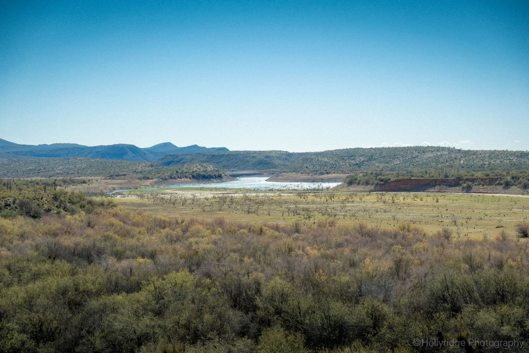
Lake Pleasant is almost always on the horizon.
After turning around, we rerouted toward Humbug Creek.
Crossing the creek itself was easy. Soft sand. No drama. It was almost relaxing compared to the rockier sections earlier in the day.
Climbing out of the wash was a different story. It’s a steep hill climb on solid rock. If your tires are wet from recent rain in the wash, traction can slip. That exit demands a capable vehicle and controlled throttle input.
Once we reconnected with French Creek Road, we stopped looking ahead and started looking around.
There’s something satisfying about unfinished routes. About leaving an obstacle for another day instead of forcing it.
Terrain and Trail Notes
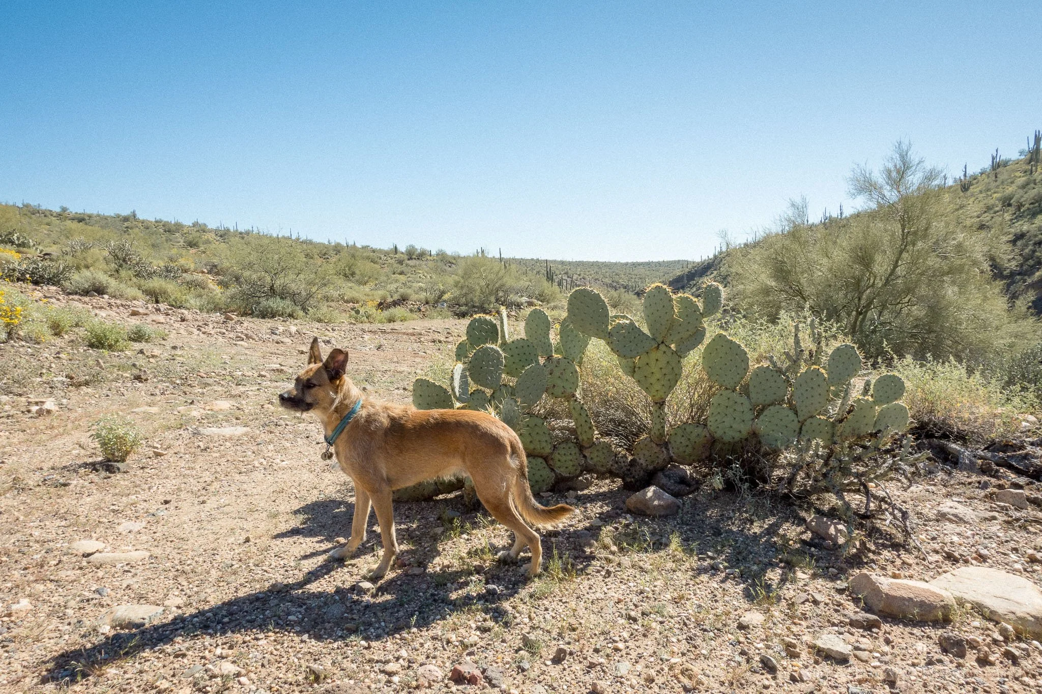
Bear still hasn’t learned that cacti aren’t friends.
This area north of Lake Pleasant is a choose-your-own-adventure system.
Difficulty ranges from easy dirt road to moderate technical sections with pockets of harder terrain depending on the lines you choose.
Be comfortable getting out and walking a road before you drive down it.
High-clearance 4WD is strongly recommended.
Best time to go is fall through early spring. Summer heat adds risk quickly, especially when you’re far from pavement.
Bring recovery gear. Bring extra water. Use offline maps. We recommend Gaia GPS for this area.
Cell service ranges from SOS to occasional 5G. Do not assume you’ll have coverage.
And respect the desert. Stay on established roads. Pack out what you bring in.
Why This Area Works for Phoenix Offroaders
The biggest advantage of this zone is proximity. It’s close enough to Phoenix for a half-day trip, but it feels remote fast.
There’s no single marquee trail. It’s a network. You can link routes differently every time and have a completely new experience.
You get scenic stretches, rocky technical features, historical remnants, and open desert views all within a relatively compact area.
It’s the kind of place you come back to.
Personal Reflection
I like unfinished obstacles.
There’s something about choosing patience over pride that feels right in the desert. Offroading isn’t that different from hiking or photography. You read the terrain. You wait. You choose your line.
You don’t force the shot. And you don’t force the climb.
Fort Tule will still be there next time.
Quick Guide
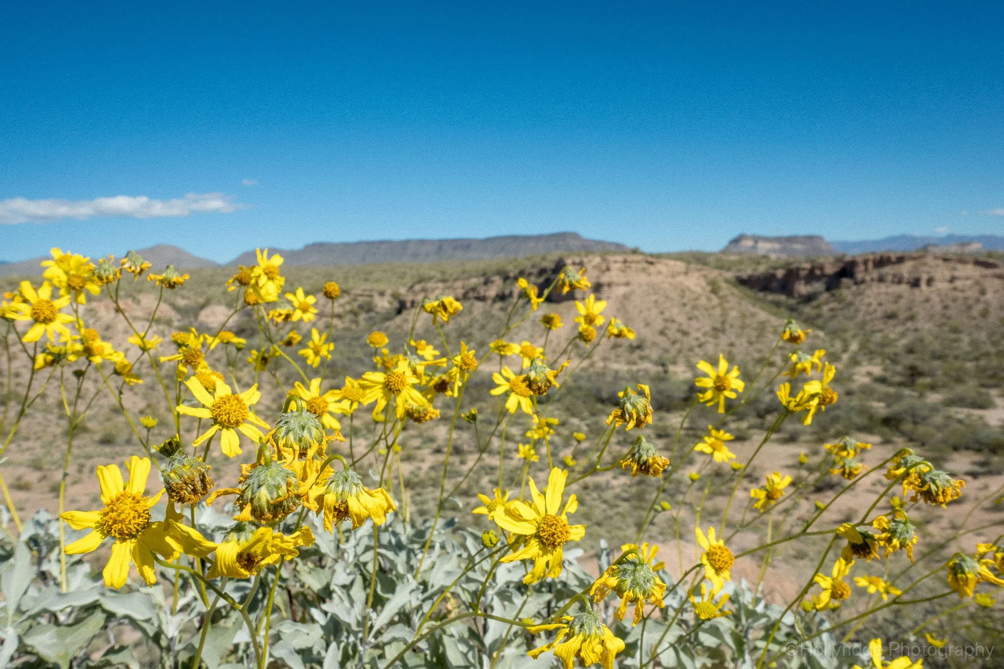
Wildflowers in Arizona bloom primarily from mid-February to mid-June, with the peak season for lower elevations occurring in March and April.
Location: North of Lake Pleasant via Castle Hot Springs Road
Route: French Creek Road → Two Shoes Ranch Road → Table Mesa Road
Vehicle: High-clearance 4WD
Best Season: Fall through early spring
Navigation: Offline maps recommended
Key Features: Wash crossings, rocky hill sections, historic site access
If you prefer to move with your own feet, and not wheels, check our hiking guides. We’ll have more off-roading guides in the future. Subscribe to get those delivered right to your inbox!
If you’re more interested in the images than the mileage, you can explore my Arizona landscape photography portfolio for more desert light and mountain textures.